Water erosion refers to the process by which flowing water gradually wears away and removes soil, rock, or other materials from the Earth’s surface over time. Human minds conceptualize water erosion as a natural phenomenon driven by the force of water, often observing its effects on the landscape, such as the formation of river valleys, canyons, and coastal features.
- Water erosion is a widely recognized geological process that can have both positive and negative impacts on human societies.
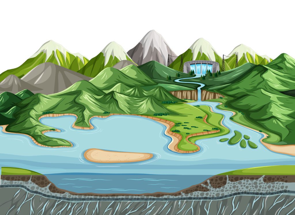
- Humans have learned to harness the power of flowing water for various purposes, such as generating hydroelectric power and providing irrigation for agriculture.
- On the other hand, excessive water erosion can lead to soil degradation, loss of fertile land, and the alteration of natural habitats, which can pose challenges for sustainable land management and conservation efforts.

25 Examples of Water Erosion Landforms
Here are 25 examples of water erosion landforms:
- River Valleys: V-shaped valleys formed by the erosive action of rivers over time.
- Canyons: Deep, narrow valleys with steep sides, often created by powerful rivers.
- Gorges: Similar to canyons but smaller in scale, often formed by streams or rivers.
- Waterfalls: Steep drops in river courses, formed when water flows over resistant rock layers.
- River Deltas: Landforms created at river mouths where sediment is deposited, forming triangular shapes.
- Alluvial Fans: Cone-shaped landforms formed by sediment deposition at the base of mountains.
- Floodplains: Flat, low-lying areas adjacent to rivers, subject to periodic flooding and sediment deposition.
- River Terraces: Flat, elevated surfaces on the sides of river valleys, formed by past floodplain deposits.
- Meanders: Curving bends in rivers, shaped by the erosive action of flowing water.
- Oxbow Lakes: U-shaped bodies of water formed when a meandering river is cut off from its course.
- Caves and Caverns: Underground voids created by water erosion in limestone and other soluble rocks.
- Karst Landscapes: Features like sinkholes and sink springs formed in regions with soluble bedrock.
- Badlands: Rugged, barren areas with deep gullies and ravines, often caused by intense water erosion.
- Fjords: Glacially carved, U-shaped coastal valleys flooded by seawater.
- Bluffs and Cliffs: Steep, vertical rock formations along coastlines or river banks.
- Coastal Caves: Caves formed through water erosion along coastal areas.
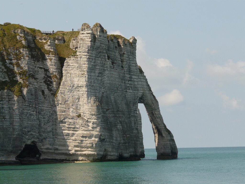
- Sea Arches: Coastal rock formations with arches carved by the action of waves.
- Sea Stacks: Isolated rock columns formed when sea arches collapse.
- Tunnels and Caves: Natural passages formed in rock by water erosion.
- Rias: Coastal inlets formed by the submergence of river valleys due to rising sea levels.
- Estuaries: Areas where rivers meet the sea, characterized by mixing of fresh and saltwater.
- Barrier Islands: Long, narrow islands parallel to the coast, formed by sediment accumulation.
- Sand Dunes: Mounds of sand formed by wind and water erosion in arid regions.
- Canyonlands: Extensive areas with deep canyons and plateaus, shaped by water erosion.
- Submarine Canyons: Underwater canyons carved by currents and turbidity flows.

Explain the different types of water erosion
Certainly! Here’s the different types of water erosion:
1. Sheet Erosion:
- Occurs when thin layers of surface soil are uniformly removed by overland flow.
- Often caused by heavy rainfall or snowmelt, which creates a thin sheet of flowing water over the land surface.
- Leads to the removal of the most fertile topsoil, affecting agricultural productivity.
- Can result in soil degradation and reduced water infiltration capacity.
2. Rill Erosion:
- Develops when small, shallow channels (rills) are formed on the soil surface due to concentrated water flow.
- Typically occurs on sloped terrain or in areas with compacted soil.
- Rills are often the initial stage of more severe erosion, like gully formation.
- May lead to the loss of soil nutrients and decreased soil depth.
3. Gully Erosion:
- The most severe form of water erosion, involving the development of deep and wide channels (gullies) in the landscape.
- Occurs when rills converge and deepen due to continuous water flow.
- Can be caused by heavy rainfall, rapid snowmelt, or human activities like improper land management.
- Results in significant soil loss, landscape degradation, and the alteration of natural drainage patterns.
4. Streambank Erosion:
- Refers to the wearing away of streambanks due to the force of flowing water.
- Commonly occurs in rivers and streams with high water velocity and unstable banks.
- Can lead to the loss of valuable land, property damage, and sedimentation in water bodies.
- Vegetation removal and human interference can exacerbate streambank erosion.
5. Coastal Erosion:
- Happens along coastlines due to the impact of waves, tides, and currents.
- Erosion can lead to the loss of land, cliffs, and coastal features like sea arches and stacks.
- Affects coastal habitats and can threaten infrastructure and human settlements.
- Coastal erosion can be accelerated by sea level rise and human activities.
6. Ephemeral Erosion:
- Refers to erosion caused by temporary or intermittent flows of water after heavy rainfall events.
- Common in arid regions where the soil lacks vegetation cover to protect against erosion.
- Can result in significant sediment runoff and deposition in downstream areas.
- Management practices like contour plowing and terracing help reduce ephemeral erosion.
7. Splash Erosion:
- Occurs when raindrops hit the soil surface and dislodge particles, causing them to splash upward.
- Splash erosion is the initial stage of other forms of erosion and contributes to the detachment of soil particles.
- Often seen on bare or poorly vegetated soil surfaces.
- Management techniques like mulching and planting vegetation can mitigate splash erosion.
Each type of water erosion can have distinct characteristics and impacts on the environment, and understanding these processes is crucial for implementing effective erosion control measures and promoting sustainable land management practices.

